Plat
Definition and meaning of Plat in real estate.
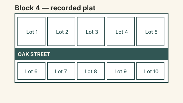
A plat is an official map drawn to scale by a surveyor that shows the divisions, boundaries, and locations of individual pieces of land. It is typically recorded with the local county clerk or registry of deeds to establish legal property lines.
In more detail
Plats are created when a larger tract of land is subdivided into smaller lots, blocks, and streets for development. The document includes detailed measurements, access points, and easements, which are public rights to use another person's land for a specific purpose. Buyers and lenders review plats during the closing process to verify that the property boundaries match the legal description in the deed.
Property owners also use plats to resolve boundary disputes with neighbors or to plan additions like fences and driveways.
Key facts
| Category | Legal, Titles & Closing |
|---|---|
| Prepared by | Licensed land surveyor |
| Required by | County records and mortgage lenders |
| Watch out for | Discrepancies between plat boundaries and physical fences |
A developer submits a proposed subdivision plat to the county planning board, showing how a large tract of land will be divided into multiple residential lots and new streets.
Frequently asked questions
What is the difference between a plat and a survey?
A plat is an official map of a subdivision or tract showing public details for the county, while a survey is a customized boundary map created for a specific property owner.
Where can I find the official plat for my property?
You can typically obtain a copy of your property plat from the local county recorder's office or the registry of deeds.